← Return to Heritage Portal
The Historical Map Time Machine & Atlas
High-resolution cartographic surveys charting the morphological growth of Calcutta, the changing river channels of the Hooghly and Padma, and the evolving administrative boundaries of Bengal.
Milestone Surveys:
1784: Plan of the Settlement of Ca...
Plan of the Settlement of Calcutta (1784) (1784)
Click on pins to inspect historical landmarks
Selected Cartographic Landmark
Click on any pulsing red pin above to inspect historical landmarks
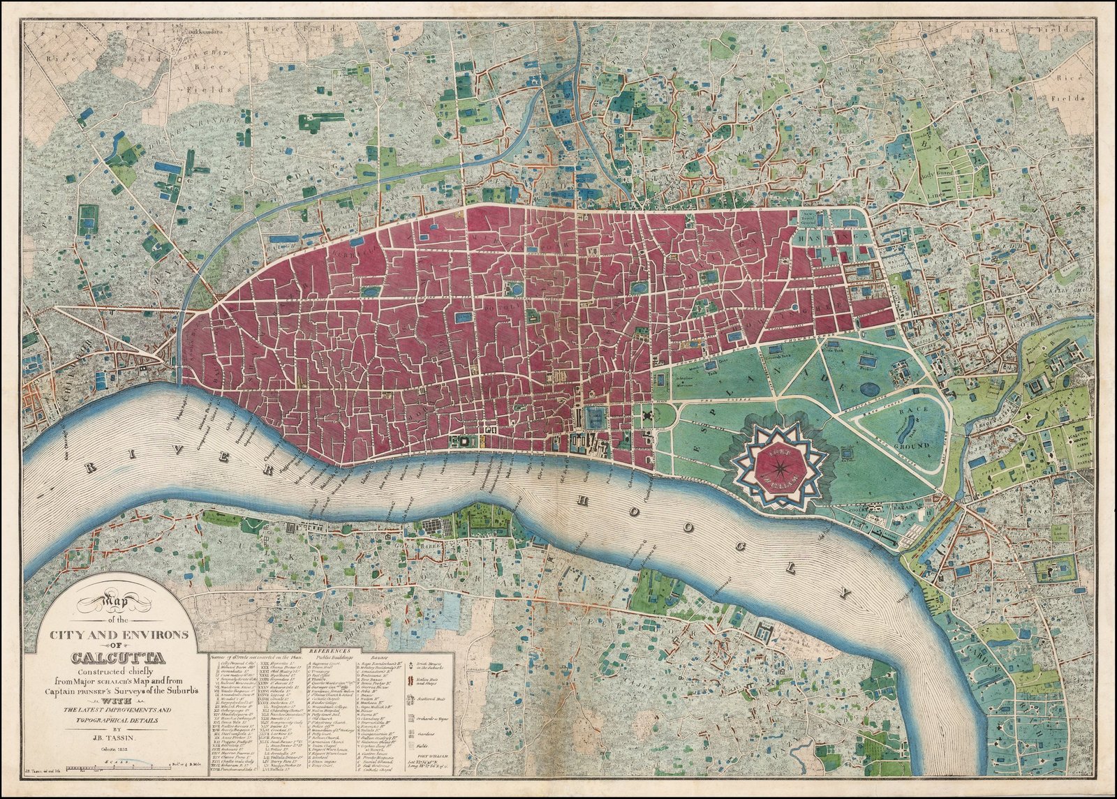
These primary pins represent defensive fortifications, colonial council buildings, native merchant corridors, and vanished ditches surveyed in this edition.
Cartographic Record
- Cartographer / Surveyor
- Lt. Col. Mark Wood
- Publication Year
- 1784
- Administrative Entity
- Bengal Presidency, Presidency Division
- Survey Scale
- Scale of 2000 Feet to One Inch
- Original Holding
- British Library Maps / David Rumsey Historical Map Collection
- Licensing
- public domain
Archival Boundary Significance:
Crucial primary map charting the defensive bastion trace of Fort William, the open Esplanade field of fire, and the Chitpur road corridor.