Rediscovering the Bengal That Time Almost Forgot.
A permanent digital time machine documenting Old Calcutta, colonial architecture, 18th-century town plans, rare glass-negative photography, and the deep cultural geography of Bengal’s 23 districts.
Historical Epochs of Bengal
Select an era to explore documented historyNawabi Bengal & The Murshidabad Court
From Murshid Quli Khan shifting the capital to Murshidabad to the Battle of Plassey.
Early East India Company Era & Town Planning
Fort William construction, Black Town & White Town demarcations, and the rise of merchant Calcutta.
The Bengal Renaissance & Victorian Calcutta
Intellectual ferment, literature, science, printing press expansion, and grand colonial architecture.
Swadeshi Movement, Capital Shift & 1947 Partition
The anti-partition movement of 1905, transfer of capital to Delhi in 1911, and the 1947 partition.
Featured Archival Narrative
Quality Score: 75/100The Terracotta Dynasties and Malla Kings of Bishnupur
Journey deep into the ancient red-soil heartland of Bankura, where the legendary Malla kings carved an empire of peerless architectural splendor and spiritual devotion out of the wilderness of Mallabhum. Through centuries of shifting political tides, the soaring laterite spires and intricately sculpted terracotta panels of Bishnupur—from the pioneering Madhakeshwar to the magnificent Rasmancha and Shyamrai—have endured as silent witnesses to a golden age of art, statecraft, and indigenous craftsmanship.

Old Kolkata vs Modern Kolkata
Verified architectural before-and-after camera position comparisons
Chowringhee Road: The Grand Imperial Promenade (1912 vs Present)
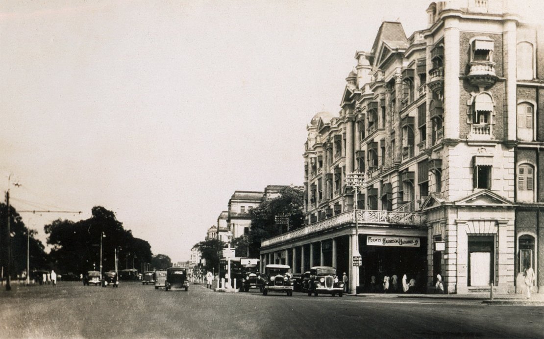 THEN (c. 1912)
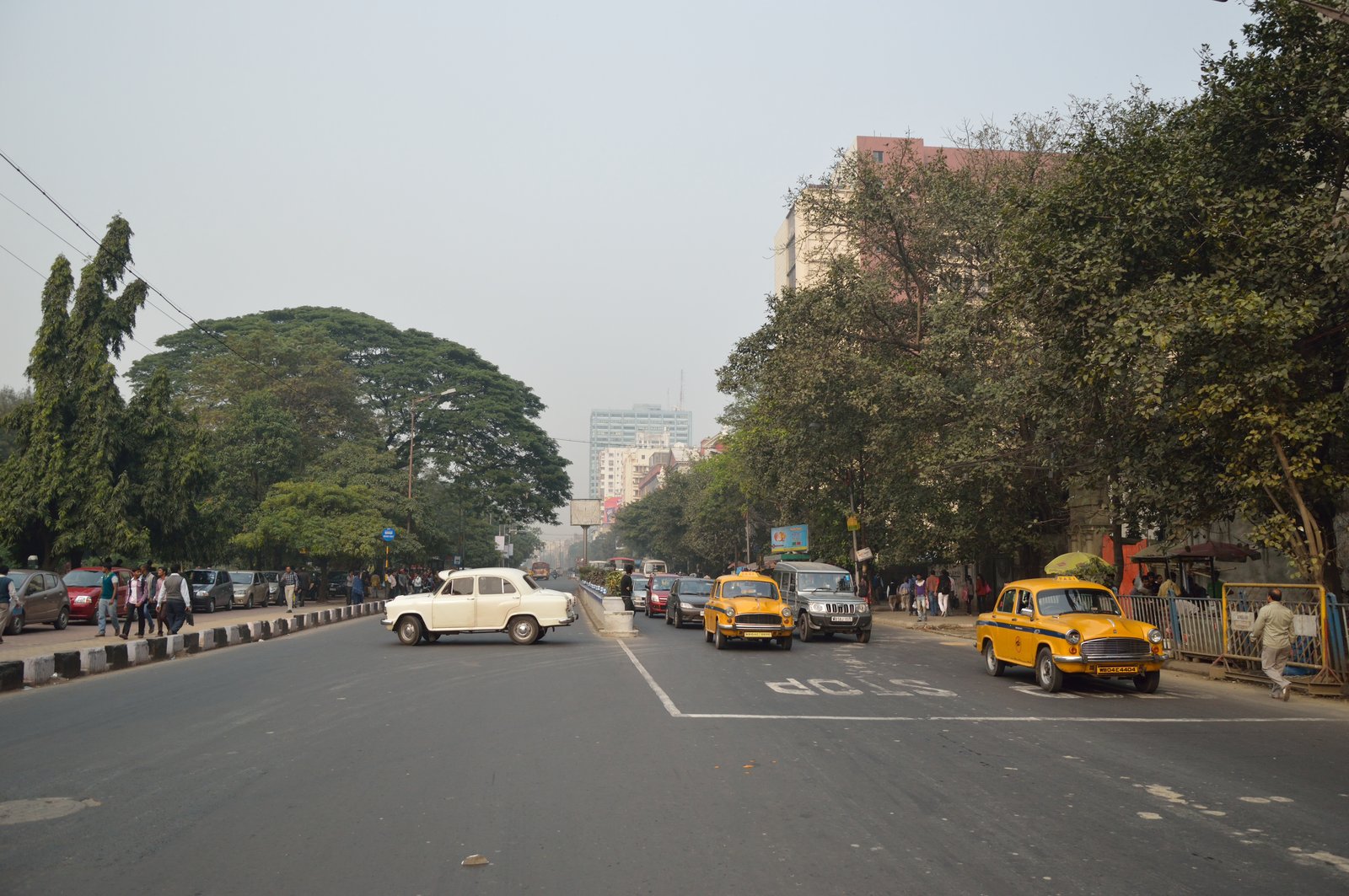 NOW (2025)
The colonial colonnaded awnings survive in heritage stretches, while electric overhead tramway catenary cables have been replaced by modern LED street lamps and metro exit pylons.
Old Court House Street & Dalhousie Square North (1895 vs Present)
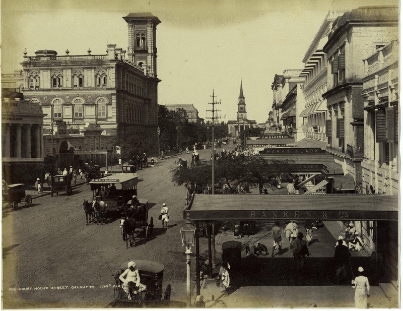 THEN (c. 1890-1895)
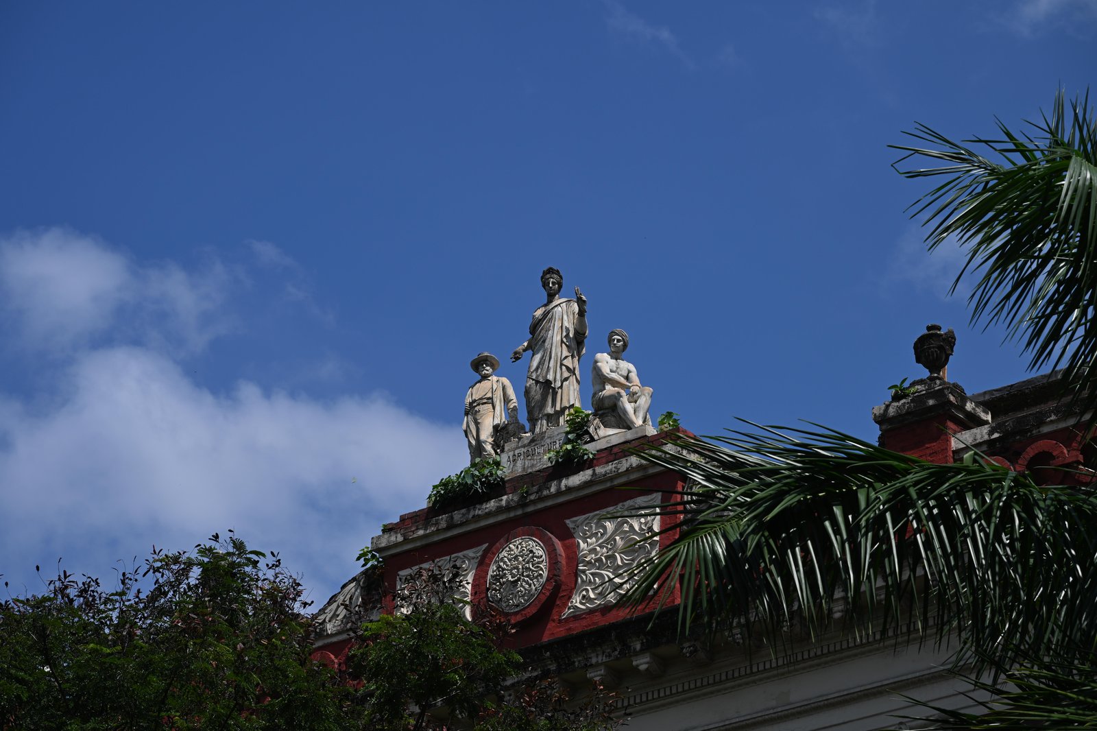 NOW (2025)
The classical Presbyterian spire of St. Andrew’s Kirk (built 1815) remains intact, surrounded by bustling government offices and banking headquarters.
The Historical Map Time Machine
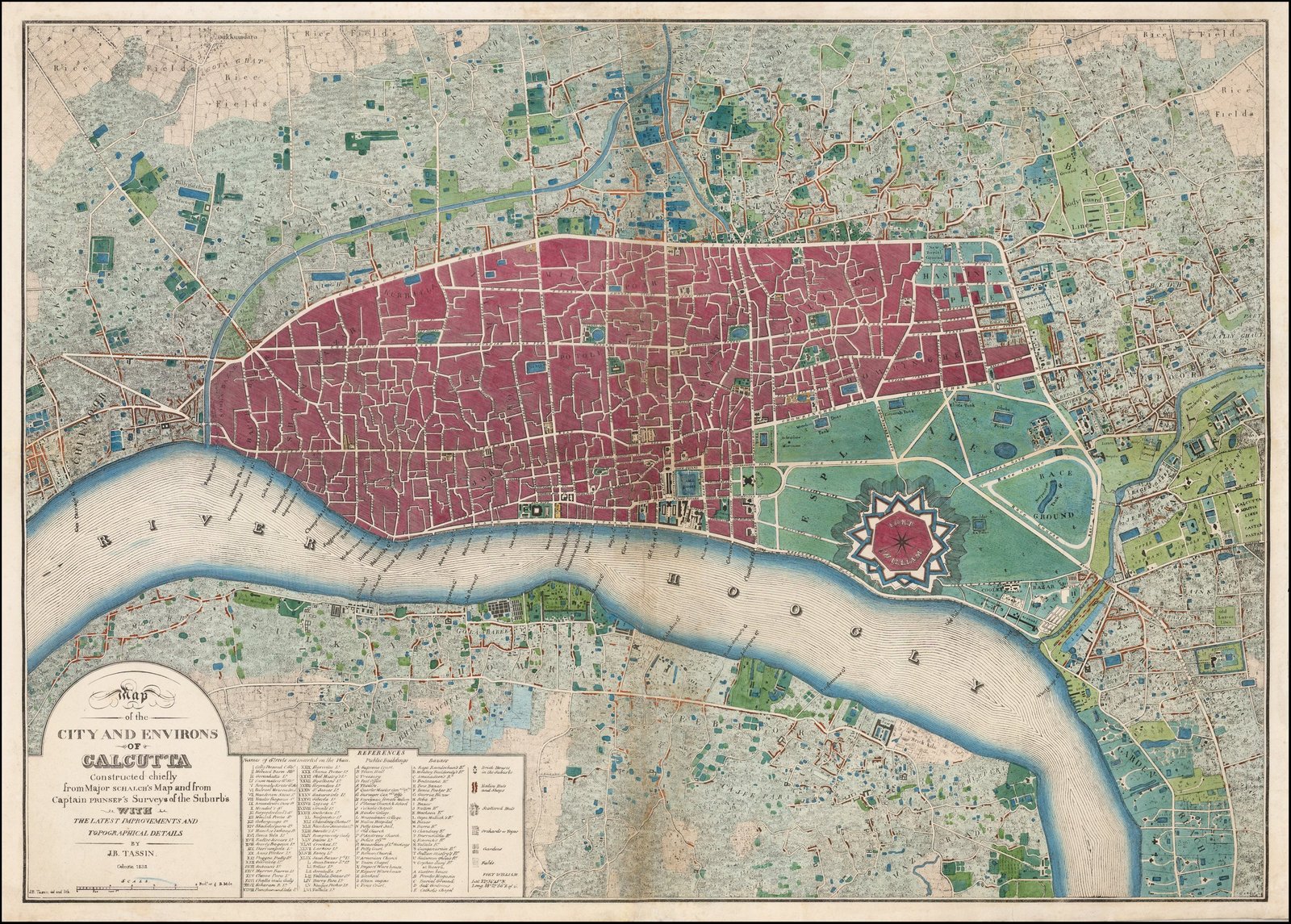
Explore high-resolution, zoomable town plans from 1776, 1784, 1825, and 1909. Discover the exact bastions of Fort William, the lost Maratha Ditch, and early river ghat wharves surveyed by Major James Rennell and Lt. Col. Mark Wood.
Vintage Photographic Archive
Verified public-domain historical plates from Bourne & Shepherd, Johnston & Hoffmann, and British Library collections
General View of the Ras Mancha at Bishnupur, Bankura District
An archival photograph documenting the unique pyramidal structure of the Ras Mancha in Bishnupur, built by Malla King Bir Hambir in the late 16th century. The image captures the tiered terracotta arches and the distinctive curved Bengali chala roof architecture characteristic of the Malla dynasty.

View of the Danish Church and Waterfront at Serampore, c. 1870
A striking view capturing the colonial architecture along the Hooghly River waterfront in Serampore, formerly the Danish settlement of Frederiknagore. The image highlights the neoclassical facade of the St. Olave's Church and surrounding merchant godowns that once served the Danish East India Company's textile trade network.
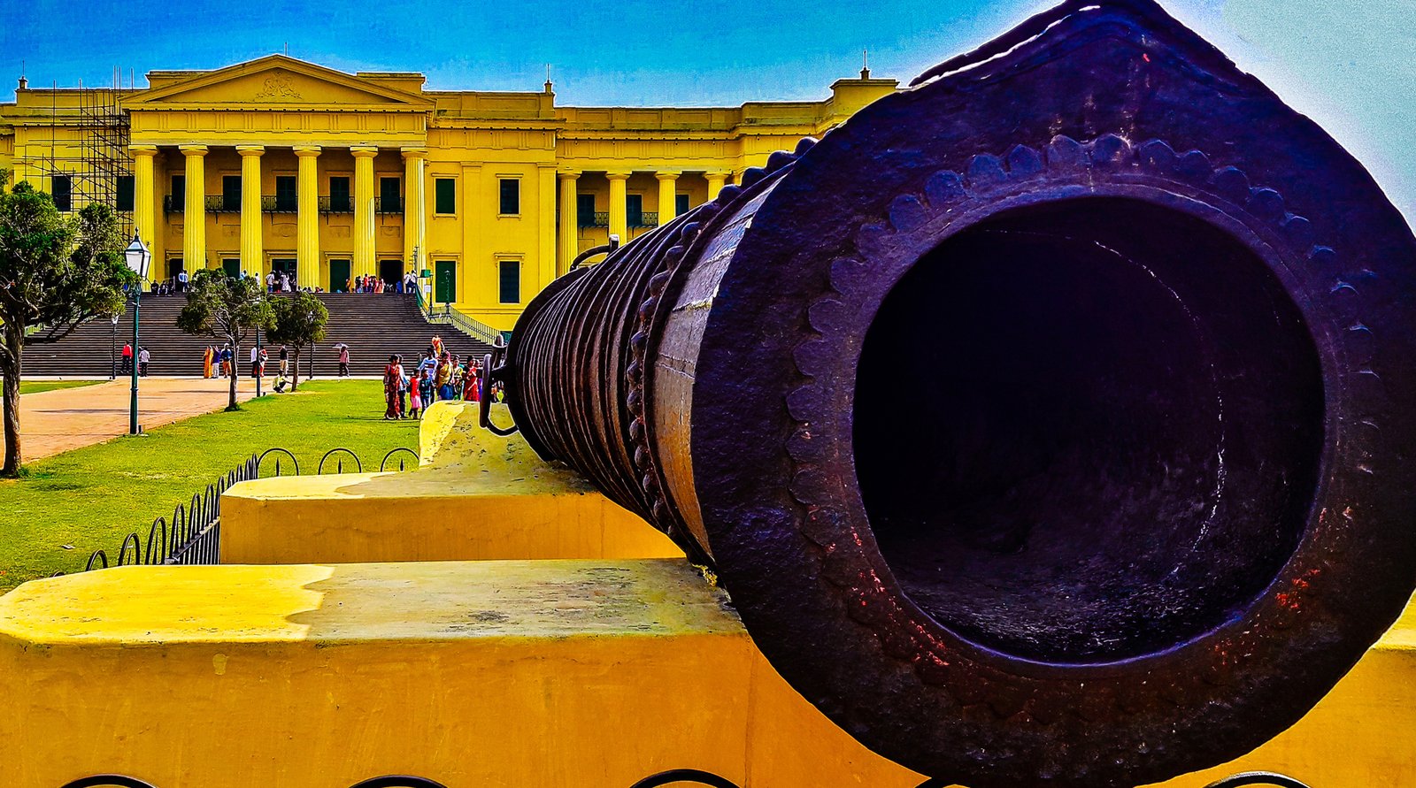
Hazarduari Palace & The Armenian Silk Quarters, Murshidabad
The stately vista of Chowringhee Road showing vintage electric tramcars, horse-drawn phaetons, and colonial neoclassical palatial facades bordering the vast expanse of the Maidan.
Chowringhee Road and the Maidan Vista, Calcutta
Stately albumen print capturing Chowringhee Road with electric tramcars, Victorian horse buggies, and colonial neoclassical palatial facades.
Old Court House Street & St. Andrew’s Kirk, Calcutta
The commercial spine of colonial Calcutta with European trading firms, haberdashers, and horse-drawn transport.
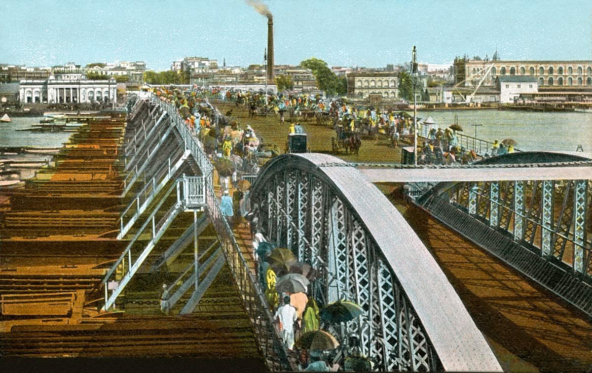
The Original Howrah Pontoon Bridge Across the Hooghly
Sir Bradford Leslie’s floating timber and iron pontoon bridge designed to uncouple in the center for passing river steamers and masted tall ships.