Plan of the Settlement of Calcutta (1784)
১৭৮৪ সালের কলকাতার প্রামাণ্য মানচিত্র
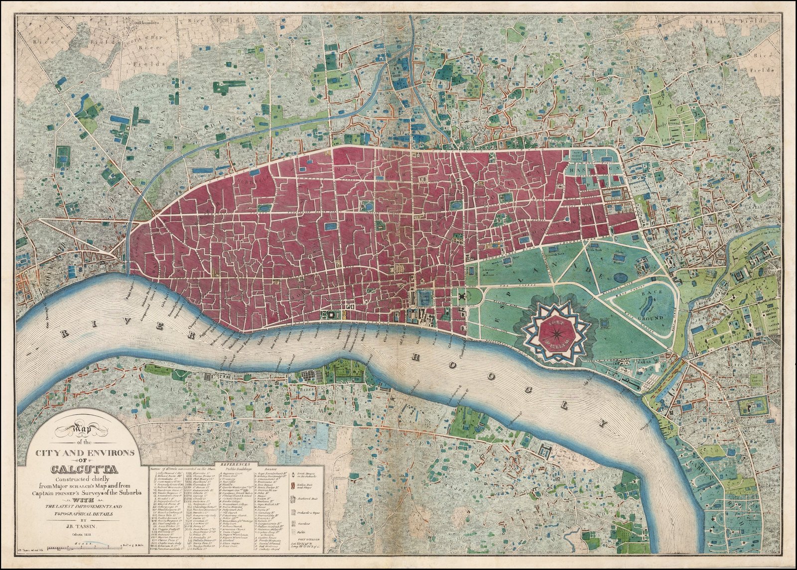
Studio: Lt. Col. Mark Wood (Surveyor General of Bengal)
Date: 1784
Original Archival Caption
"A Plan of Calcutta Taken from an Actual Survey in 1784 by Lieut. Col. Mark Wood."
Historical Context & Architectural Analysis
Lt. Col. Mark Wood’s landmark cartographic survey of the settlement of Calcutta, displaying the original native Town (Black Town) and European Quarter (White Town).
Archival Provenance Ledger
Verified 90/100- Asset Type
- map
- Photographer / Studio
- Lt. Col. Mark Wood (Surveyor General of Bengal)
- Date / Decade
- 1784 (1780s)
- Holding Archive
- British Library Maps / David Rumsey Historical Map Collection
- Catalogue Reference
- BL-Maps-K.Top.115.42
- Historical Location
- Calcutta Settlement
- Present-Day Location
- Kolkata Metropolitan Area
- Copyright & Reuse
- public domain
Official Attribution:
Public Domain / British Library Board
Public Domain / British Library Board
BongRadio Archival Standard
BongRadio adheres to strict archival non-fabrication rules. Genuine public-domain and institutionally licensed photography is preserved with permanent metadata. No AI-generated imagery is ever represented as authentic historical photography.